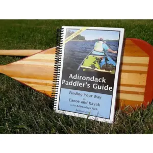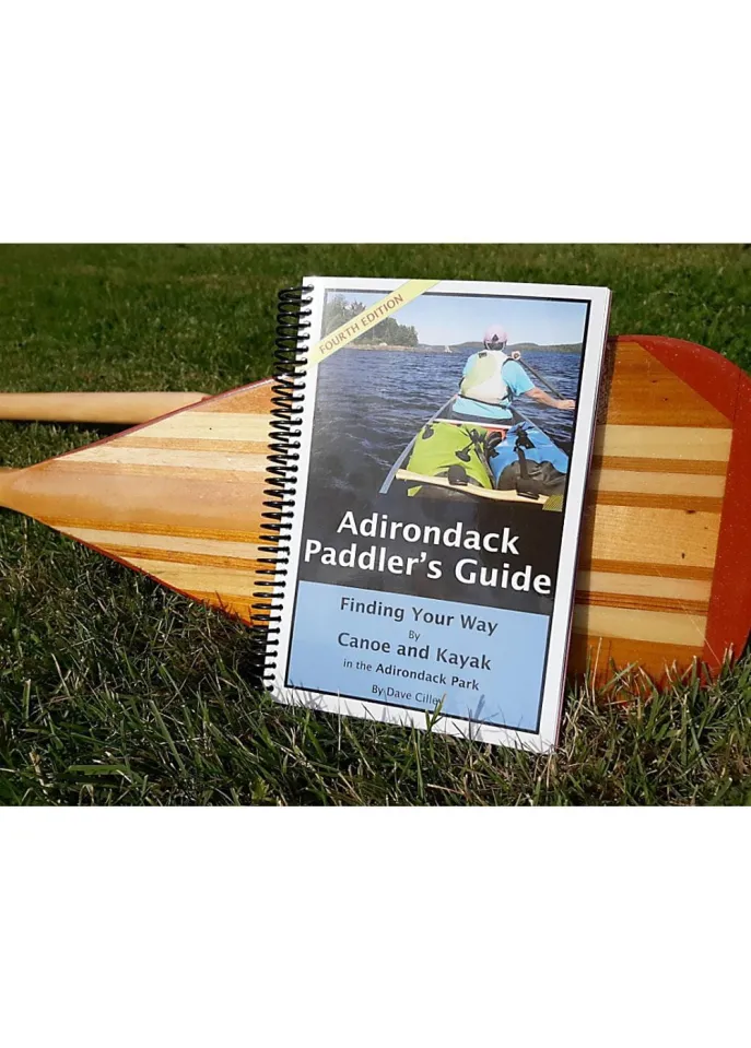
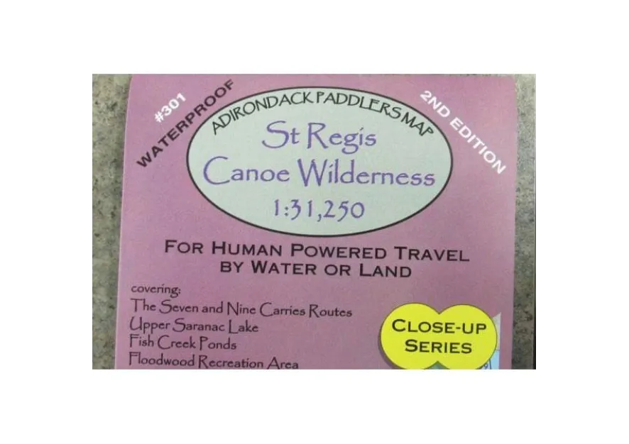
Navigate the pristine St. Regis Canoe Wilderness with confidence using the updated Adirondack Paddler’s Map – Close-up Series: St. Regis Canoe Wilderness (2nd Edition). This essential waterproof topographic map delivers unparalleled detail for serious canoeists and backpackers exploring New York’s iconic wilderness areas. Crafted on durable, tear-resistant material that withstands downpours and portage scratches, it’s your reliable companion from Stony Creek to Tupper Lake along the Raquette River.
Experience true peace of mind with full-color shaded relief showing every contour at a precise 1:31,250 scale (approx. 1″ = 0.5 miles). Instantly identify critical features: state vs. private lands, designated wilderness boundaries, numbered campsites, portage routes, trails, and UTM grids—all measured in metric for international clarity. Whether you’re planning a solo trip across Upper Saranac Lake or navigating the Floodwood/Fish Creek maze near Paul Smiths, this durable canoe route planner eliminates guesswork.
Why do seasoned Adirondack adventurers trust this guide? Its compact 4″x9″ folded size slips easily into any pack yet unfolds to reveal comprehensive coverage of St. Regis Lakes and the entire wilderness core. Stop worrying about soggy maps failing mid-journey; this wilderness navigation guide ensures you stay oriented through rain or rough handling. Ready for precise backcountry exploration? Grab this indispensable tool—your safest bet for mastering remote waterways without signal bars. Your next unforgettable paddle starts here.