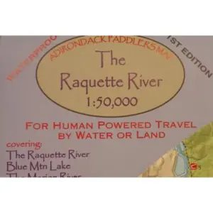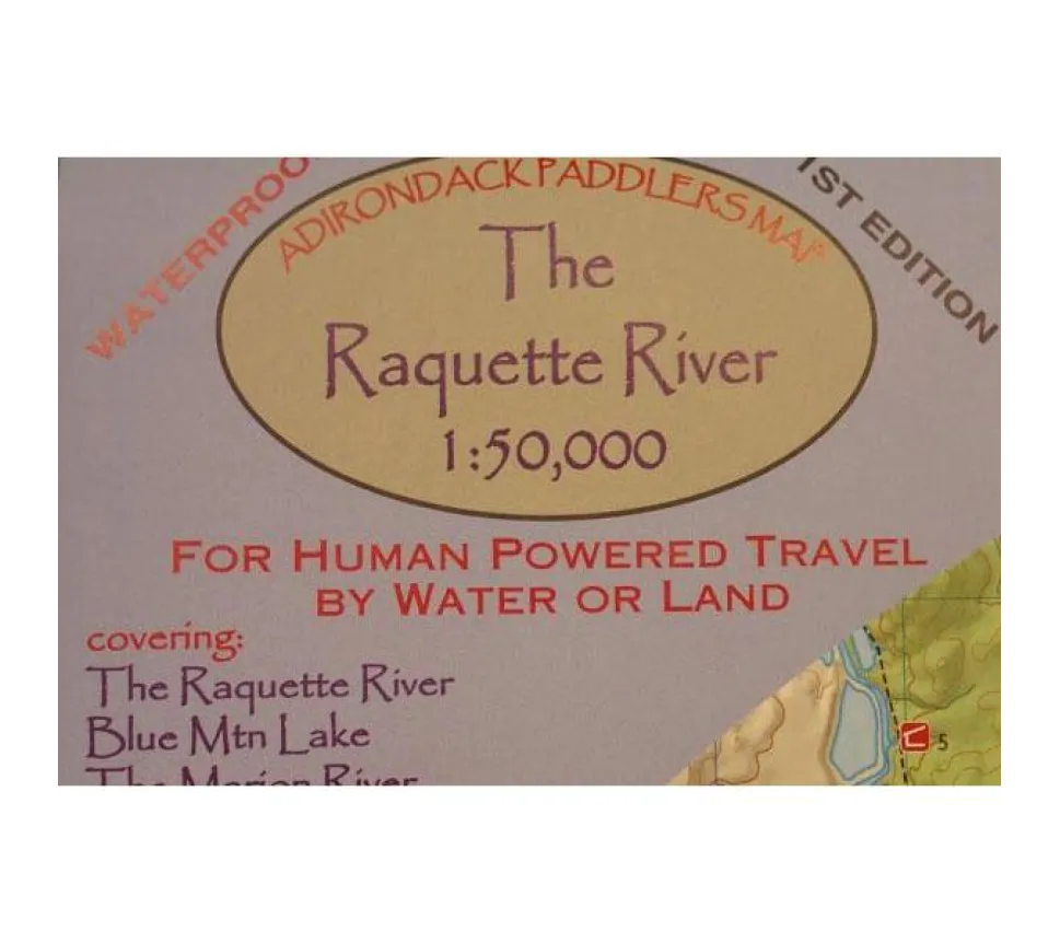
Plan your next Raquette River adventure with confidence using the Adirondack Paddler’s Map – Raquette River edition! This essential waterproof and tear-resistant topographic map (1:50,000 scale, approx 1″ = 0.8 miles) is built tough for real paddling conditions. Why risk soggy paper maps when exploring remote waters? Our durable Adirondack Paddler’s Map stays legible through rain showers and accidental dips, featuring crisp shaded relief to visualize terrain effortlessly.
Navigate wilderness areas precisely with clear markings for state land, private property boundaries, designated wilderness zones, critical portages, trails, and numbered campsites – perfect for multi-day paddling trip planning in the Adirondacks. The integrated UTM Grids and metric measurements ensure accurate wilderness navigation, whether you’re charting a course from Blue Mountain Lake to Raquette Lake or tackling sections near Long Lake, Tupper Lake, or the scenic Marion River connector.
Measuring 18″ x 24″ unfolded (folds compactly to 4″ x 9″), it slips easily into any dry bag without bulk. Trust this full-color guide for reliable route scouting across the entire Raquette River corridor – from serene Blue Mountain Lake headwaters to Tupper Lake’s expansive waters. Pack this essential tool for stress-free exploration where every portage and campsite is clearly marked. Ready for confident paddling? Grab your Raquette River map today!