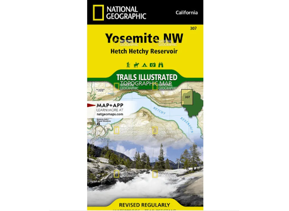
Explore the wild beauty of Yosemite’s northwestern region with National Geographic’s Trails Illustrated map of Yosemite NW: Hetch Hetchy Reservoir. This highly detailed topographic map is crafted for adventurers who demand accuracy and durability in the backcountry.
Printed on rugged “Backcountry Tough” material, this map is both waterproof and tear-resistant—perfect for unpredictable weather and rough handling. Developed in collaboration with the National Park Service and U.S. Forest Service, it covers key areas like Lake Eleanor, Grand Canyon of the Tuolumne River, Emigrant Wilderness, and parts of Stanislaus National Forest.
Navigate with confidence using clearly marked trails, including segments of the Pacific Crest and John Muir trails, complete with mileage markers. The map features contour lines, elevations, labeled peaks, water bodies, and waypoints to support your journey. You’ll also find essential recreation details such as campgrounds, fee stations, ski areas, and ranger stations.
Whether you’re planning a day hike or a multi-day backpacking trip, this map includes valuable information on wilderness permits, safety tips, and camping guidelines. A full UTM grid is provided for easy GPS navigation.
Discover hidden gems and popular landmarks alike—this reliable map helps you venture off the beaten path and return safely.