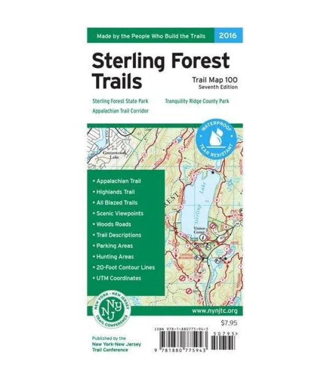
Explore Orange County’s breathtaking Hudson Highlands with confidence using the West Hudson Trails Two-Map Set from the trusted New York–New Jersey Trail Conference! Printed on durable Tyvek material, these waterproof and tear-resistant maps withstand rugged adventures while displaying vibrant colors for crystal-clear navigation. Perfect for discovering nearly 70 miles of marked trails across iconic parklands like Black Rock Forest, Schunemunk Mountain State Park, and Storm King State Park—including over 10 miles of the Long Path and nearly 25 miles of the Highlands Trail.
Key features elevate your hiking experience:
Junction-to-junction mileage markers simplify route planning
Detailed 20-foot elevation contours reveal terrain challenges
Precise 1:20,000 scale (1 inch = 0.32 mile) ensures accuracy
Handy inset highlights Orange County’s Heritage Trail
Essential landmarks like viewpoints, springs & parking areas
UTM grid coordinates for GPS integration
Updated park regulations & contact information
Crafted by trail-building experts with over eight decades of mapping precision—this 7th edition (2015) folds conveniently for trail use while covering unmaintained paths and historical sites. Ideal for hikers seeking reliable detailed hiking maps Orange County NY, it transforms exploration into worry-free discovery across New York’s wild beauty west of the Hudson River.


