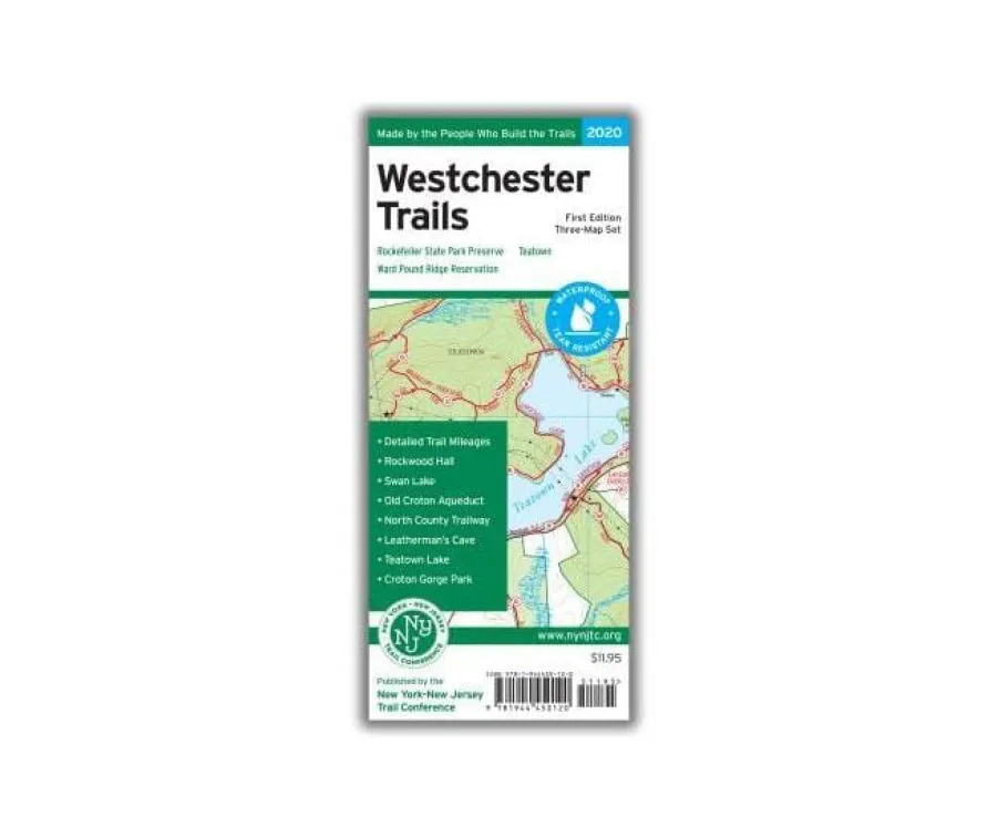

Discover Westchester County’s finest trails with our essential Westchester Trails Map set—your ultimate companion for navigating over 160 miles of scenic paths across three iconic preserves. Perfect for hikers seeking reliable detailed trail mileage maps, this waterproof Tyvek trio covers Rockefeller State Park Preserve (New York’s largest state park here), Ward Pound Ridge Reservation (the county’s biggest public park), and Teatown (the region’s largest private nature preserve).
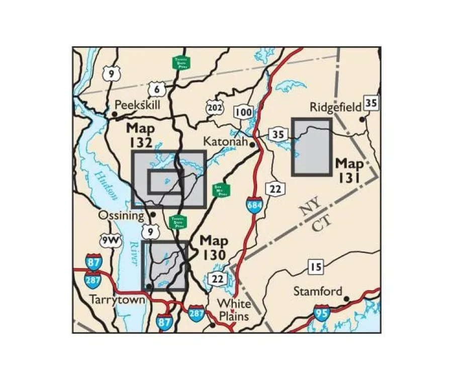
No more confusing detours! Each vibrant, tear-resistant map delivers junction-to-junction trail mileage, precise 10-foot elevation contours, UTM grids, parking spots, transit access points, and historical landmarks. Map #130 dives deep into Rockefeller’s expansive network plus Rockwood Hall; #131 conquers Ward Pound Ridge’s rugged terrain; and #132 explores Teatown’s diverse trails alongside an expanded Greater Teatown inset—featuring newly updated routes for accuracy.
Why trust these? Crafted by the New York-New Jersey Trail Conference with 85+ years of expertise (“Made By the People Who Build the Trails”), they include unmaintained paths, viewpoints, regulations, and contact details. Whether you’re a weekend walker or serious backpacker hunting the best hiking maps for Westchester County, this set ensures confident exploration through Croton Gorge, Old Croton Aqueduct, and beyond. Ditch flimsy paper—grab these durable guides and hit the trail!