
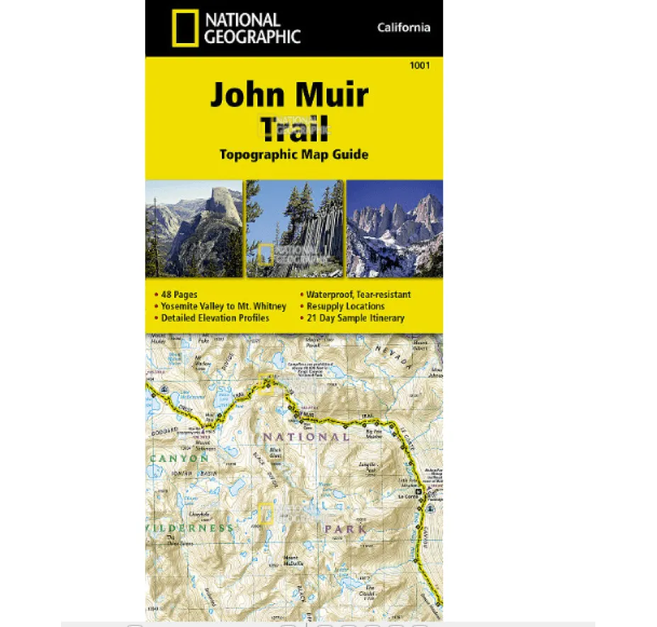
Conquer the Sierra Nevada with National Geographic’s indispensable John Muir Trail topographic map guide – your ultimate companion for navigating America’s most iconic 210-mile wilderness route. Expertly crafted with land management agencies, this waterproof, tear-resistant map survives downpours and rugged use thanks to Backcountry Tough™ paper, ensuring reliability when you need it most. Planning your thru-hike? Discover precise JMT waypoint tables, detailed elevation profiles showing every climb and descent, and a crucial resupply points chart with shipping addresses and services – eliminating guesswork for seamless logistics.
Track your journey mile-by-mile as the trail is prominently centered on each page, guiding you past El Capitan, Vernal Fall, and through breathtaking parks like Yosemite, Sequoia, and Kings Canyon National Parks. Navigate confidently using the printed UTM grid alongside GPS devices. Beyond core mapping, gain valuable insights: a sample 21-day itinerary helps structure your adventure, wilderness safety tips address critical backcountry concerns, and fascinating historical notes enrich landmarks like Devils Postpile National Monument.
Why trust this guide? It’s meticulously researched coverage spans from Yosemite Valley’s northern start to Mount Whitney’s summit – the highest point in the contiguous US – detailing key features across Ansel Adams Wilderness and John Muir Wilderness. Whether you’re a seasoned thru-hiker seeking dependable Sierra Nevada trail navigation or planning your first multi-day trek, this durable map delivers unmatched detail for a safe, informed journey through some of Earth’s most stunning landscapes. Never get lost tracking progress on America’s legendary trail again.