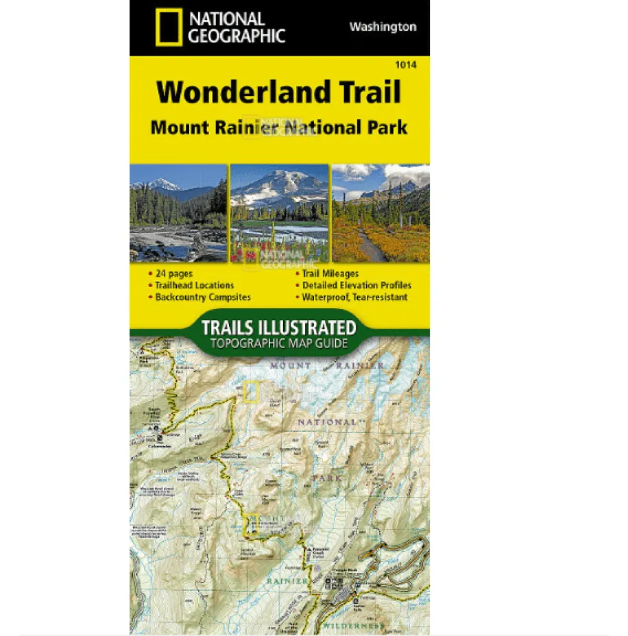

Explore the iconic Wonderland Trail with National Geographic’s Topographic Map Guide—your essential companion for navigating one of the Pacific Northwest’s most breathtaking treks. This waterproof and tear-resistant map booklet is crafted for durability, printed on rugged “Backcountry Tough” paper with stainless steel staples to withstand the elements.
Designed for clockwise travel starting at Sunrise trailhead, each page features detailed trail profiles highlighting the trail’s dramatic 22,000 feet of cumulative elevation change. The centered, highlighted route makes it easy to track your progress as you traverse the undulating terrain around Mount Rainier. A full UTM grid supports precise GPS navigation, ensuring you stay on course even in remote sections.
Beyond mapping, this guide includes vital information on Mt. Rainier National Park regulations, wilderness tips, and key facts to enhance your journey. Whether you’re planning a multi-day backpacking trip or seeking the best day hikes near Mount Rainier, this compact and lightweight resource is more convenient than traditional folded maps—delivering reliability without extra bulk.
Ideal for outdoor enthusiasts looking for a topographic map for hiking the Wonderland Trail or exploring national park trails, this guide combines practical navigation with rich contextual details for a safe and memorable adventure.