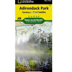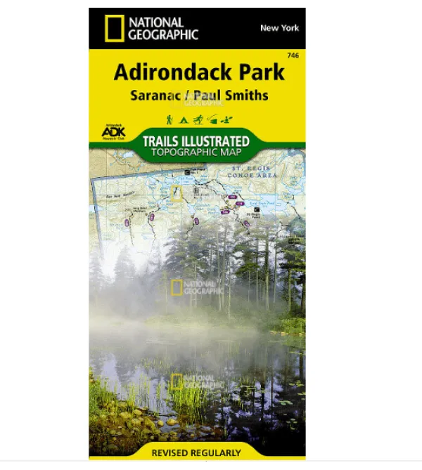
Discover adventure-ready reliability with National Geographic’s Adirondack Park Saranac / Paul Smiths Trails Illustrated Map—your essential companion for navigating the stunning Saranac Lakes region and beyond. Need a waterproof topographic map that withstands downpours and rugged trails? This tear-resistant masterpiece delivers, printed on exclusive “Backcountry Tough” paper trusted by explorers.
Crafted with the Adirondack Mountain Club and local land managers, it features unmatched detail: precise contour lines, summit elevations, and clearly marked trails with mileage—perfect for hiking map planning near Lake Placid or snowshoeing routes in Debar Mountain Wild Forest. Whether you’re paddling the St. Regis Canoe Area, biking near Carry Falls Reservoir, or seeking scenic viewpoints at Whiteface Mountain, our extensive trail chart matches your activity level to ideal paths for hiking, skiing, or snowmobiling.
Stay safe and informed with critical recreation details: campgrounds, fishing access points, ski areas, and UTM grids for seamless GPS navigation. Explore confidently across key zones like Lower Saranac Lake, Loon Lake Mountains, and Sentinel Range—all while knowing your map resists rips and moisture when weather turns wild.
Grab this durable topographic guide for authentic Adirondack exploration where every contour tells a story. Your next serene lake vista or challenging summit awaits!