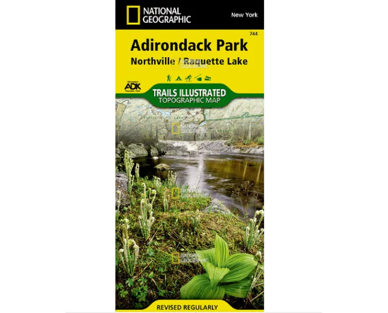
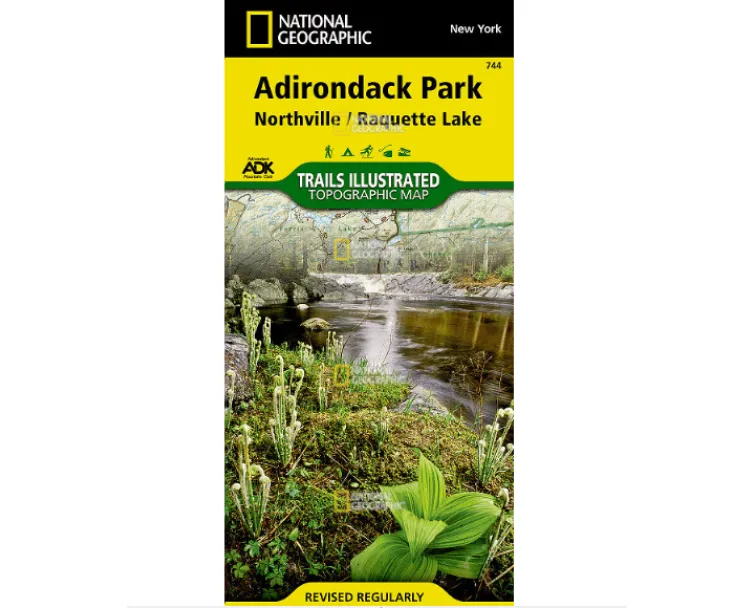
Navigate Adirondack adventures confidently with National Geographic’s Old Forge & Oswegatchie Trails Illustrated Map—your essential waterproof companion for Adirondack Park exploration. Expertly crafted with land managers like the Adirondack Mountain Club, this topographic map delivers unmatched detail across Fulton Chain Lakes, Stillwater Reservoir, Tupper Lake, and wilderness zones including Five Ponds and Ha-De-Ron-Dah.
Plan every journey effortlessly! Clearly marked trails—like the iconic Cranberry Lake 50 Trail—show precise mileages between junctions, whether you’re hiking rugged peaks or snowmobiling winter routes. Need fishing spots? Campgrounds? Canoe launches? Recreation icons spotlight ski areas, swimming zones, and boat access instantly. Plus, contour lines reveal elevations for summits and lakes, while UTM grids sync perfectly with your GPS.
Why trust this waterproof tear-resistant map? Printed on legendary “Backcountry Tough” paper, it withstands downpours and scrapes during multi-season adventures—from summer paddles on Black River Wild Forest waters to cross-country skiing near Independence River. Mark trails confidently for hiking, biking, horseback riding, or snowshoeing using the comprehensive activity chart tailored to your skill level.
Grab this indispensable guide featuring Owls Head Mountain vistas and Hinckley Reservoir access—wherever adventure calls in New York’s wild heartland. Never get lost; explore deeper with reliable cartography designed for outdoors lovers by outdoors lovers.


