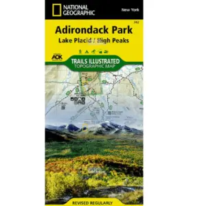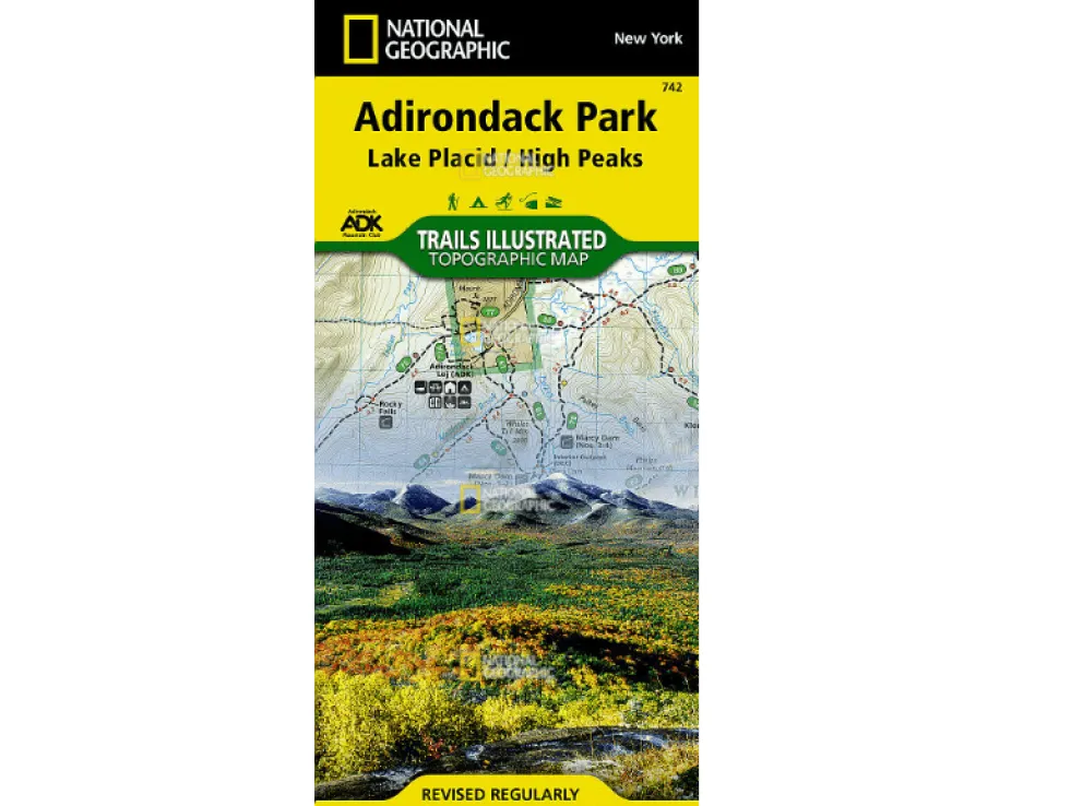

Explore Adirondack Park’s 6-million-acre wilderness confidently with National Geographic’s Trails Illustrated Waterproof Topographic Map. Designed for hikers, snowshoers, bikers, and snowmobilers tackling the High Peaks Wilderness or serene Saranac Lakes Wild Forest, this essential guide delivers unmatched detail you can trust. Worried about sudden downpours or rugged trail conditions? Rest easy—every map is printed on durable “Backcountry Tough” paper that resists water and tears, ensuring reliability when you need it most.
Navigate precisely using clear trail markings with mileages, contour lines showing elevations for peaks like Mount Marcy and lakes like Lake Champlain, plus critical recreation spots: campgrounds, trailheads, fishing access points, and boat launches. The included High Peaks Trail Chart helps you instantly match trails to your skill level and activity—whether planning a day hike near Lake Placid or a winter snowmobile route through Hurricane Mountain Wilderness. Plus, a full UTM grid seamlessly integrates with your GPS device.
Discover why adventurers choose this Adirondack Park hiking map for trips spanning Algonquin Peak to Tupper Lake. From summer paddling on Upper Saranac Lake to cross-country skiing Sentinel Range trails, it’s your all-season companion for exploring protected forests, pristine waterways, and charming villages across New York’s iconic park—no more soggy maps or confusing routes!