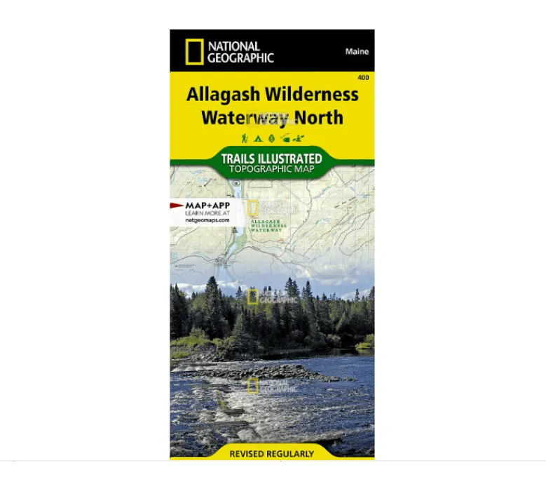
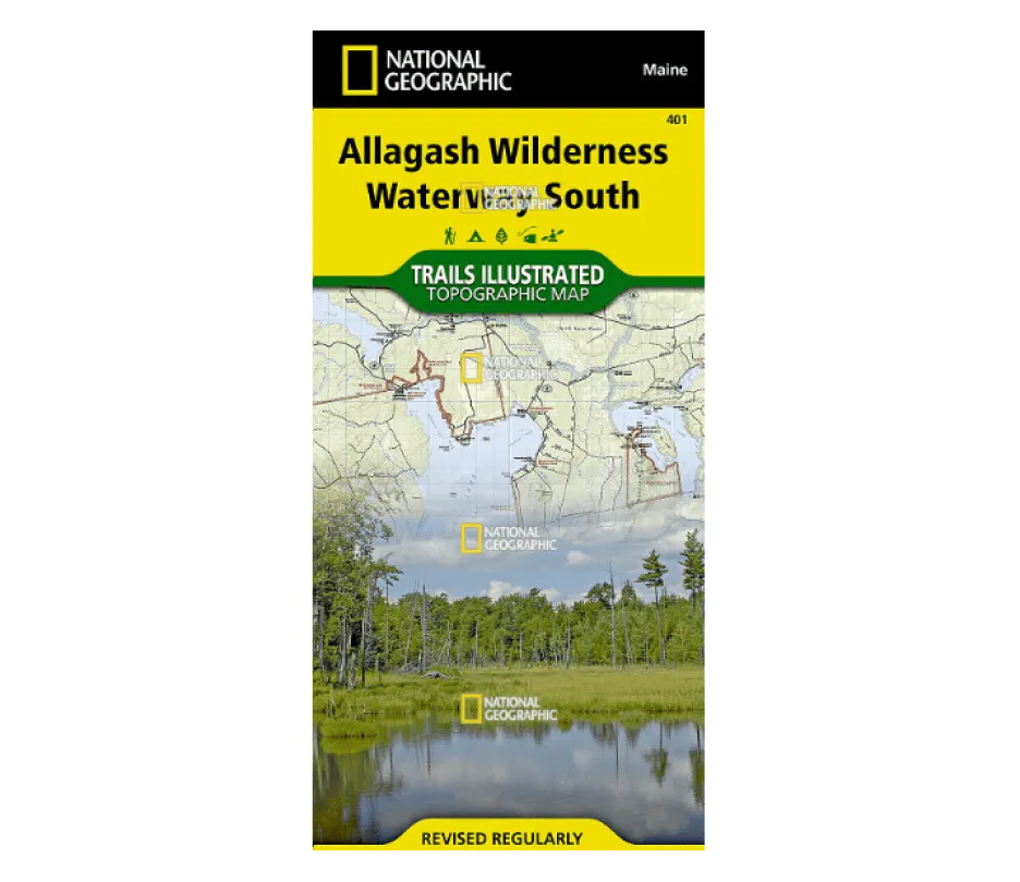
Explore Maine’s Wild Beauty with the Allagash Wilderness Waterway South Map
Navigating Maine’s breathtaking Allagash Wilderness Waterway just got easier with this waterproof, tear-resistant topographic map from National Geographic. Designed in collaboration with local land management agencies, it’s your ultimate guide to the 92-mile network of rivers, lakes, and forests in the North Maine Woods.
Key Features & Benefits:
Detailed Topography: Contour lines, shaded relief, and summit elevations help you track your route with precision.
Essential Trail & Waterway Info: Includes canoe carry-downs, boat launches, scenic viewpoints, and ranger stations—perfect for paddlers and hikers alike.
Durable “Backcountry Tough” Material: Built to withstand rain, spills, and rough handling during outdoor adventures.
GPS-Friendly UTM Grid: Easily navigate using GPS coordinates for seamless off-grid exploration.
Discover Hidden Gems
From Eagle Lake to Big Spencer Mountain, this map highlights must-see spots like:
Chesuncook & Chamberlain Lakes
Big Reed Forest Reserve
St. John Pond & Gero Island
Plan Your Perfect Trip
Whether you’re camping at primitive sites, following the Northern Forest Canoe Trail, or driving the Maine Scenic Byway, this map ensures you stay on track. It even notes regulations, river difficulty levels, and campground amenities like picnic areas and trailheads.
Ideal for year-round adventures—grab yours and chart your next journey through Maine’s untamed wilderness!


