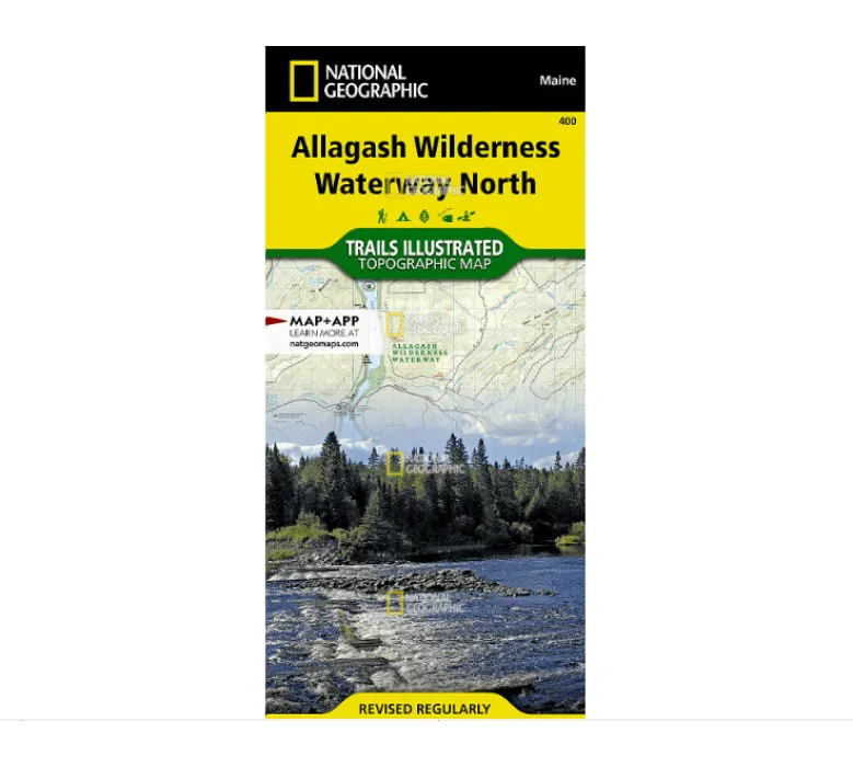
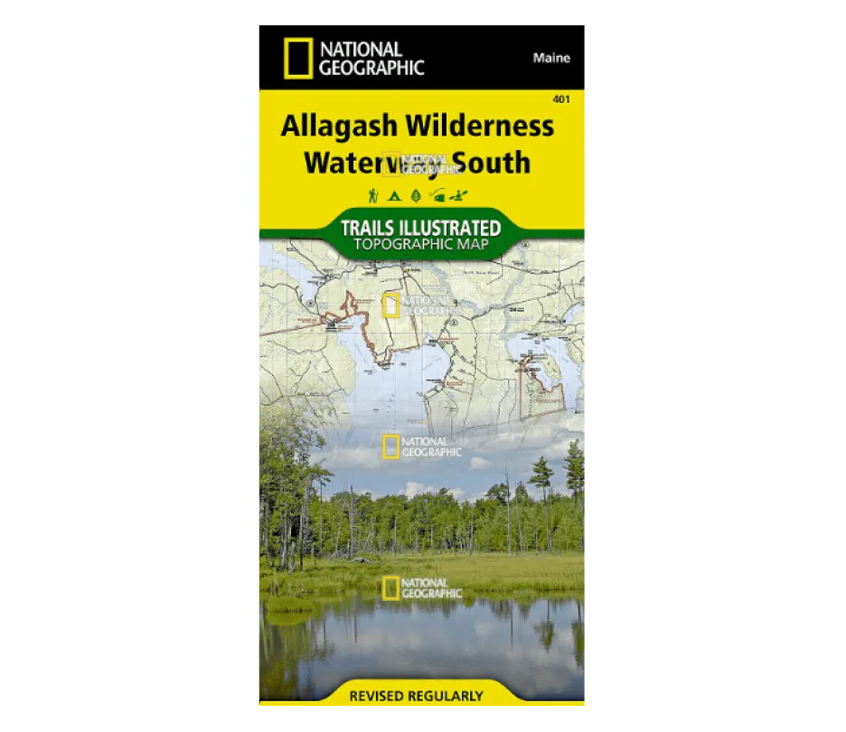
Explore the rugged beauty of Maine’s wild north with the National Geographic Trails Illustrated Allagash Wilderness Waterway North map. Designed for adventurers who demand precision and durability, this topographic map covers 92 miles of pristine rivers, lakes, and forest—ideal for paddling, hiking, camping, and scenic drives.
Crafted in collaboration with local land management agencies, this map highlights essential areas like Fort Kent State, Saint John River, Eagle Lake, Umsaskis Lake, and the Debouille Ecological Reserve. It features contour lines, shaded relief, and elevation data to help you navigate with confidence. Key recreation points are clearly marked: find trailheads, canoe carry downs, boat launches, RV sites, and primitive campsites with ease.
Looking for the best waterproof hiking map for Northern Maine? This one is printed on “Backcountry Tough” material—tear-resistant and completely waterproof. It includes a full UTM grid for GPS compatibility and vital information like watercraft regulations, river difficulty ratings, and ranger station locations.
Perfect for outdoor enthusiasts tackling the Northern Forest Canoe Trail or exploring the Maine Scenic Byway, this reliable map ensures you stay informed and prepared in the wilderness.


