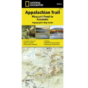
Explore Maine’s Rugged Beauty with the Pleasant Pond to Katahdin Topographic Map Guide
Traverse the challenging northern Maine section of the Appalachian Trail (A.T.) confidently with this waterproof, tear-resistant topographic map. Designed for hikers tackling Katahdin—the A.T.’s iconic northern terminus in Baxter State Park—this guide is essential for navigating Maine’s rugged terrain and unpredictable weather.
Key Features:
Detailed 1:1-mile scale maps with overlapping pages to prevent gaps in navigation.
Trail profiles showing distances between shelters, campsites, and access points.
“Backcountry Tough” material—weatherproof and durable for all-season use.
UTM grid for precise GPS coordination.
Bonus info: resupply points, town maps, and camping options.
Perfect for day hikers or thru-hikers, this guide covers critical landmarks like Bald Mountain Brook Shelter, White Cap Mountain, and the breathtaking Cooper Brook Falls. Whether you’re prepping for a multi-month trek or a weekend adventure, stay prepared mile by mile with this indispensable A.T. topographic map.
Gear up safely—Maine’s trails demand respect.


