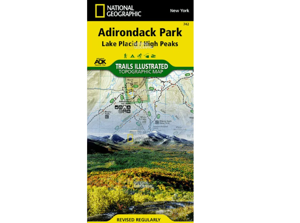
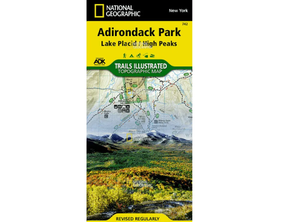
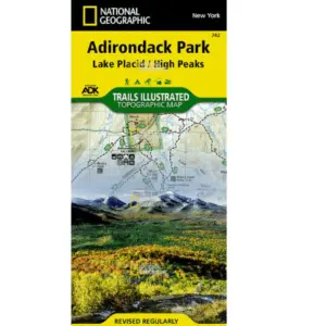
Discover the untamed beauty of Adirondack Park with National Geographic’s Trails Illustrated map of Lake George and Great Sacandaga. Expertly crafted in collaboration with local agencies like the Adirondack Mountain Club, this topographic map is your ultimate guide to exploring rugged wilderness, serene lakes, and scenic trails.
Whether you’re hiking, biking, cross-country skiing, or snowmobiling, this waterproof and tear-resistant map provides unmatched detail. It highlights key areas including Lake George, Pharaoh Lake Wilderness, Moreau Lake State Park, and the Wilcox Lake Wild Forests. Navigate confidently with clearly marked trails showing distances between intersections, plus a helpful trail-use chart tailored to your activity level.
Find essential recreation spots like boat launches, campgrounds, fishing areas, and climbing sites. Elevation contours, summit heights, and a full UTM grid support GPS navigation for backcountry adventures. Printed on durable “Backcountry Tough” paper, this map stands up to rain, spills, and rough handling.
Perfect for outdoor enthusiasts seeking detailed Adirondack Park trail maps or waterproof hiking guides for New York State. Explore landmarks such as Tongue Mountain Range, Schroon Lake, Saratoga Springs, and beyond—all in one reliable resource.
