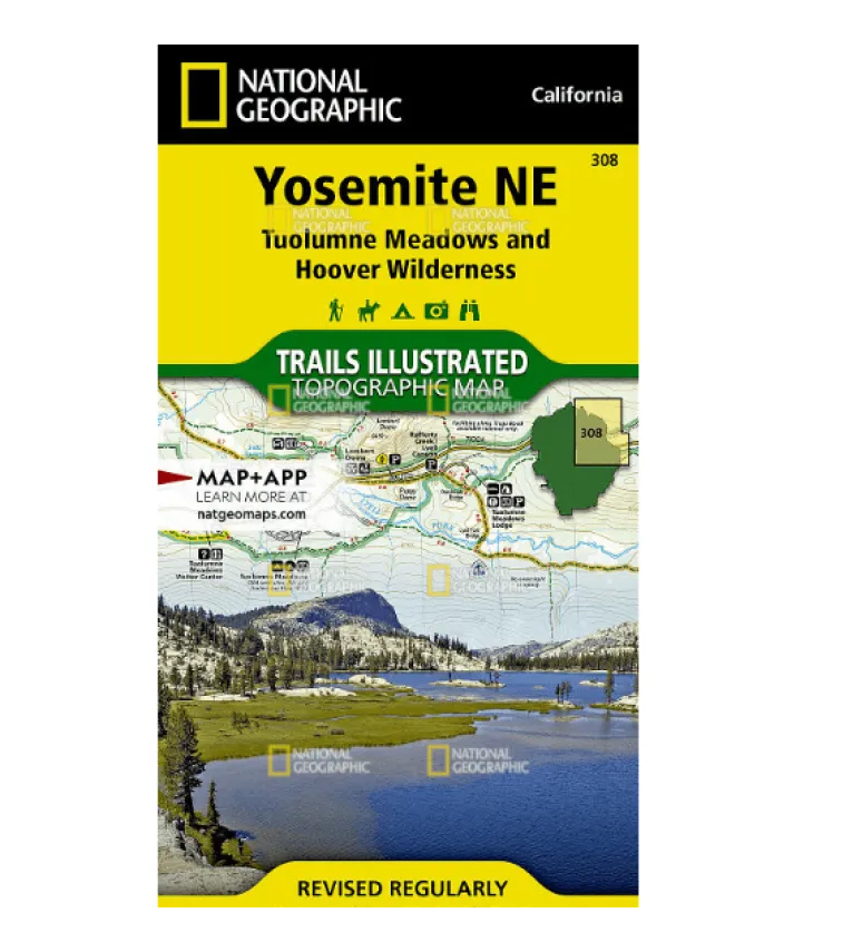
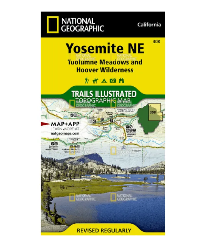
Explore Yosemite’s Wild Beauty with National Geographic’s Waterproof Topographic Map
Navigate the stunning landscapes of Yosemite NE: Tuolumne Meadows and Hoover Wilderness with this tear-resistant, waterproof topographic map from National Geographic. Perfect for hikers, backpackers, and outdoor adventurers, it combines unmatched detail with expert research—partnering with local agencies to ensure accuracy.
Key Features:
Detailed trail coverage, including sections of the Pacific Crest Trail and John Muir Trail, with mileages between intersections for easy planning.
Highlights iconic spots like Twin Lakes, Grand Canyon of the Tuolumne, and portions of Ansel Adams Wilderness.
Essential recreation markers: campgrounds, trailheads, ski areas, and more—plus contour lines and summit elevations for precise navigation.
Printed on durable “Backcountry Tough” paper—ideal for rugged conditions—with a UTM grid for GPS compatibility.
Whether you’re planning a multi-day trek or a day hike near Tioga Pass or Mount Dana, this map includes wilderness permits, safety tips, and park regulations to keep you prepared.
Discover more of the Sierras: From Inyo National Forest to Matterhorn Peak, trust Trails Illustrated to guide you off-grid—and back safely.


