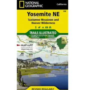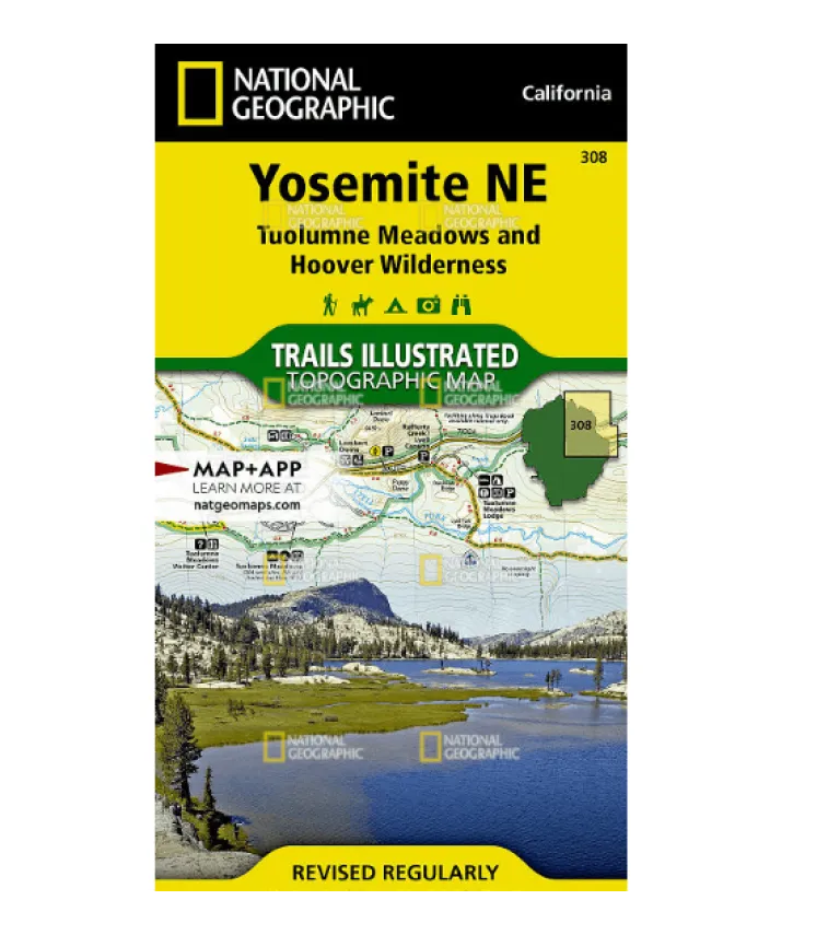
Explore Yosemite’s High Country with Confidence: National Geographic Waterproof Map
Navigate the breathtaking wilderness of Yosemite SE using National Geographic’s trusted Trails Illustrated map. Crafted in collaboration with local agencies, this topographic marvel combines unmatched accuracy with essential backcountry intelligence—perfect for thru-hikers and weekend adventurers alike.
Why Choose This Trail Companion?
Waterproof & Tear-Resistant: Printed on “Backcountry Tough” paper that withstands storms, spills, and rough handling.
Ultra-Detailed Topography: Contour lines, summit elevations, and UTM grids for precise GPS navigation off-grid or on established trails like the John Muir Trail sections and Pacific Crest Trail segments.
Smart Trail Planning: Mileage markers between intersections simplify route customization—whether trekking to Tenaya Lake or Cathedral Range vistas.
Discover key landmarks including Tuolumne Meadows, Ansel Adams Wilderness, and Sierra Vista Scenic Byway (ideal for scenic drives!). Quickly locate campgrounds, alpine ski zones, horse stables, and trailheads across Inyo and Sierra National Forests.
Your Key to Unforgettable Adventures
From Moraine Meadows to Mount Lyell’s peaks, this expertly researched map transforms complex terrain into accessible journeys. Never second-guess your path again—grab the ultimate tool for exploring Yosemite’s granite wonders responsibly!