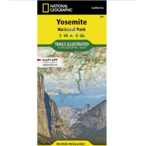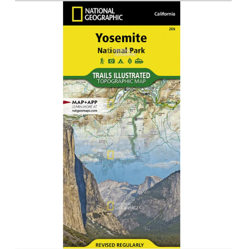
Navigate Yosemite National Park with confidence using the National Geographic Trails Illustrated Map. This waterproof, tear-resistant topographic map is your essential companion for exploring the park’s vast wilderness and iconic landmarks.
Created in collaboration with local land management agencies, this map features meticulously researched details of key areas like Yosemite Valley, Tuolumne Meadows, Stanislaus National Forest, and the Ansel Adams Wilderness. With nearly 800 miles of clearly marked trails—including mileages between intersections—you can venture off the beaten path and find your way back with ease.
Whether you’re planning a day hike or a multi-day backpacking trip, this map provides invaluable information on camping, transportation, safety regulations, and points of interest such as waterfalls, scenic overlooks, and ski areas. The contour lines, summit elevations, and full UTM grid support precise navigation, making it ideal for both casual visitors and seasoned adventurers.
Printed on durable “Backcountry Tough” paper, this map stands up to rough handling and unpredictable weather. Discover Yosemite’s hidden gems and must-see destinations with a reliable guide trusted by outdoor enthusiasts.