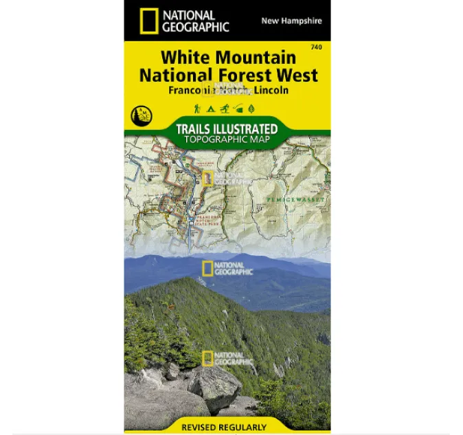

Planning your White Mountains adventure? National Geographic’s White Mountain National Forest West Trails Illustrated map delivers unparalleled topographic detail for every season. Expertly crafted with land managers like the Appalachian Mountain Club, this waterproof and tear-resistant guide is your essential companion whether hiking Presidential Range peaks, cruising the Kancamagus Highway scenic byway, or exploring winter skiing trails near Mount Washington.
Navigate confidently with clearly marked Appalachian Trail segments, precise mileage indicators, and critical safety info including campgrounds, trailheads, shelters, and fishing spots. Contour lines and summit elevations reveal the terrain’s true character—from rugged Pemigewasset Wilderness passes to serene Squam Lake shores. Planning a scenic drive? Key routes like the White Mountain Trail Byway are highlighted for effortless exploration by car.
Printed on durable “Backcountry Tough” paper, this map withstands downpours and trail wear while featuring a full UTM grid for seamless GPS integration. Discover hidden gems: waterfalls along the Sandwich Range Wilderness trails, panoramic overlooks near Mount Lafayette, or quiet campsites beside the Connecticut River. Whether you’re tackling South Twin Mountain or seeking family-friendly interpretive paths near Hanover, this map covers every landmark—from Moosilauke’s slopes to Ossipee Mountains vistas.
Don’t risk your journey with flimsy guides; trust the detailed topographic map built for real adventures across 750+ square miles of New England’s most iconic wilderness. Your perfect blend of precision and practicality awaits!