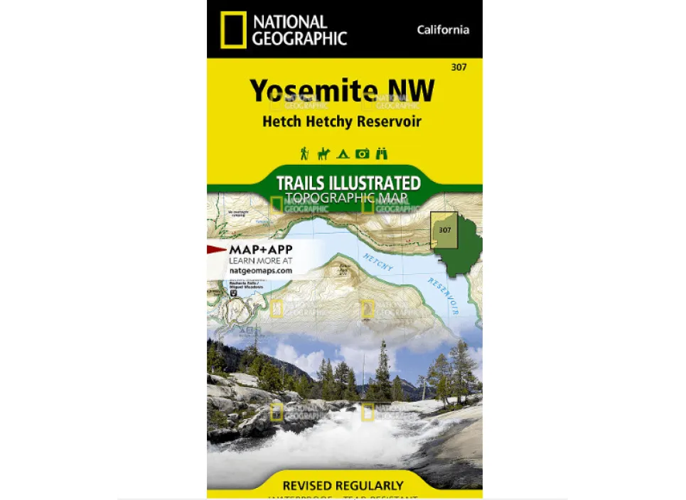
Explore Yosemite Valley and Wawona with confidence using National Geographic’s Trails Illustrated map—your ultimate guide to navigating one of America’s most breathtaking national parks. Crafted on durable, waterproof, and tear-resistant “Backcountry Tough” paper, this map stands up to rugged outdoor conditions while providing exceptional detail and reliability.
Whether you’re planning a day hike, backcountry camping trip, or scenic drive, this topographic map delivers invaluable information tailored for adventurers. It highlights must-see landmarks like El Capitan, Half Dome, Yosemite Falls, and Vernal Fall, plus key areas such as Sierra National Forest and the Merced River. Trail networks are clearly marked with mileage between intersections, campground locations, trailheads, and essential amenities.
Need help finding the best hiking trails in Yosemite? This map includes sections of the Pacific Crest and John Muir trails, along with practical tips on wilderness permits, bear safety, and backcountry navigation. A full UTM grid supports easy GPS use for precise route planning.
Ideal for both novice explorers and seasoned hikers, this expertly researched map combines accuracy with usability—helping you make the most of your Yosemite adventure.


