
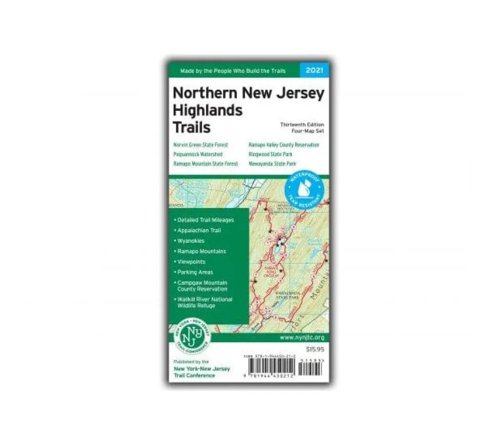
Discover unparalleled clarity on northern New Jersey’s trails with the completely rebuilt Northern New Jersey Highlands Trails Map set! This essential waterproof hiking map collection—now expanded to four vibrant Tyvek® sheets—covers over 360 miles of marked trails across 40+ parks in Bergen, Passaic, Sussex, and nearby NY counties. Perfect for day hikers and backpackers seeking reliable navigation through rugged terrain.
Why choose this 2021 edition? Experience a major 33% scale increase for crystal-clear trail networks, plus junction-to-junction mileage markers printed directly on each map. Explore more than 30 miles of the Appalachian Trail between High Point State Park and Pochuck Boardwalk—including new Wallkill River National Wildlife Refuge sections—and uncover 75+ miles of recently updated trails maintained by Trail Conference volunteers. Birders rejoice: key hotspots are now highlighted with Saw Mill River Audubon input!
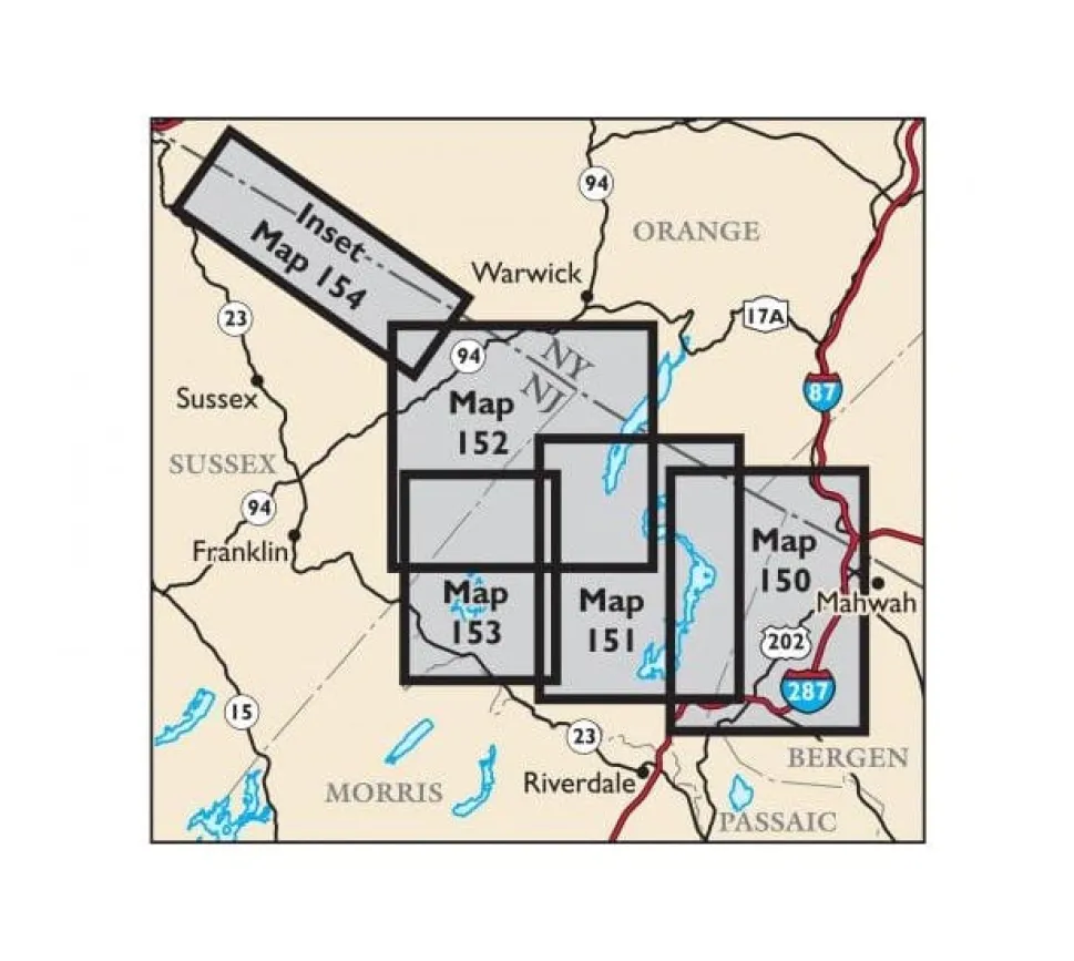
Crafted for adventure durability, these tear-resistant maps feature 20-foot elevation contours, precise park boundaries, viewpoints, parking areas, and insets for popular zones like Ramapo Valley Reservation and Norvin Green State Forest. Whether you’re navigating Wawayanda State Park’s waterfalls or planning a multi-day trek along the Highlands Trail, trust North-oriented cartography consistent with adjacent regional maps.
Stop guessing your route—grab the most accurate NJ state park trail guide updated in 15 years. Includes detailed blaze info, UTM grids, and contact details for preserves like Abram Hewitt Forest and Ringwood State Park. Your next epic hike starts here!