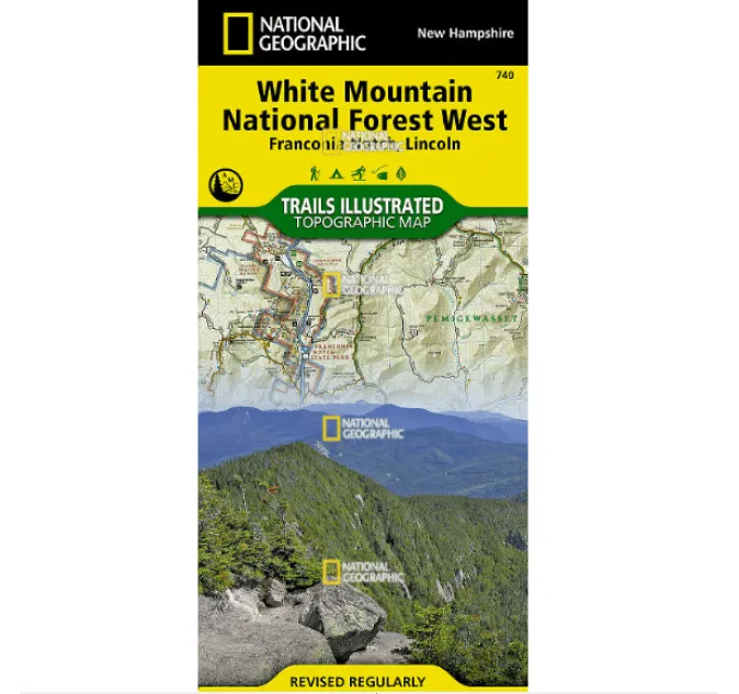
Explore Sequoia & Kings Canyon National Parks with Confidence
Navigate the awe-inspiring landscapes of Sequoia and Kings Canyon National Parks with this waterproof, tear-resistant topographic map by National Geographic. Whether you’re trekking through ancient sequoia groves, summiting Mount Whitney, or traversing the John Muir Trail, this meticulously detailed map ensures you stay on course in some of America’s most breathtaking wilderness areas.
Key Features:
Ultra-durable “Backcountry Tough” material—withstands rough handling and harsh weather.
Precise trail networks, including the Pacific Crest Trail, backcountry zones, and scenic viewpoints.
UTM grid for GPS navigation, plus contour lines and elevation markers for summits and lakes.
Highlights essential landmarks like Giant Sequoia National Monument, Jennie Lakes Wilderness, and more.
Perfect for hikers, campers, and adventurers, this map combines expert research with user-friendly design—marking campgrounds, visitor centers, and park regulations to keep you informed.
Why choose this map? From alpine ridges to deep canyons, trust National Geographic’s Trails Illustrated series to guide you off-grid and back safely. Durable, detailed, and designed for explorers.


