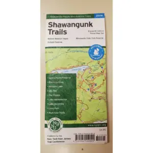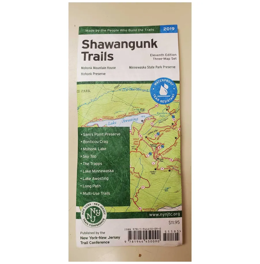
Discover every adventure across Ulster County’s majestic northern Shawangunks! This essential three-map set from New York–New Jersey Trail Conference delivers vibrant waterproof cartography printed on tear-resistant Tyvek®—perfect companions whether you’re hiking rugged cliffs or cycling scenic carriage roads covering over 200 miles of maintained trails open to hikers bikes & horses alike!
Your Ultimate Navigation Toolkit Includes:
Comprehensive coverage spanning Minnewaska State Park Preserve Mohonk Preserve & Shawangunk Ridge State Forest
Critical sections like Long Path/Shawangunk Ridge Trail featuring newly mapped routes between Wurtsboro & Route 52
Enhanced large-scale detail navigating Mohonk Mountain House’s intricate network
Precise topography via 20-foot elevation contours at practical 1:30000 scale
Key landmarks including viewpoints waterfalls mines parking areas & public transit access
UTM grids park boundaries regulations contact info + unmaintained path insights
Crafted through 80+ years of expertise these regularly updated field sheets—conveniently sized for trail use—ensure reliability where digital signals fail! Trusted since 2016’s authoritative Tenth Edition they embody grassroots accuracy since they’re literally Made By Those Who Build These Trails. Never risk outdated guides when traversing New York’s iconic ridges again; secure your indispensable waterproof hiking companion today!